Our account of our summer in the mountains
This article may contain affiliate/compensated links. For full information, please see our disclaimer here.

This article may contain affiliate/compensated links. For full information, please see our disclaimer here.

Comparing the Maps of the Alps.
This article may contain affiliate/compensated links. For full information, please see our disclaimer here.
Now that the weather is nicer, maybe it is time to plan your next mountain adventure. You can sit in your garden, enjoying the sunny days we are having (at least in Britain) during this Covid19 epidemic and start taking your time, as a hobby, of thinking where your next road trip will be.
For me, it will always be to a mountain, and it will mostly be by car. Unless I travel to America (both North and South), I prefer, if possible, to take the car as driving to the mountains, is part of the trip.

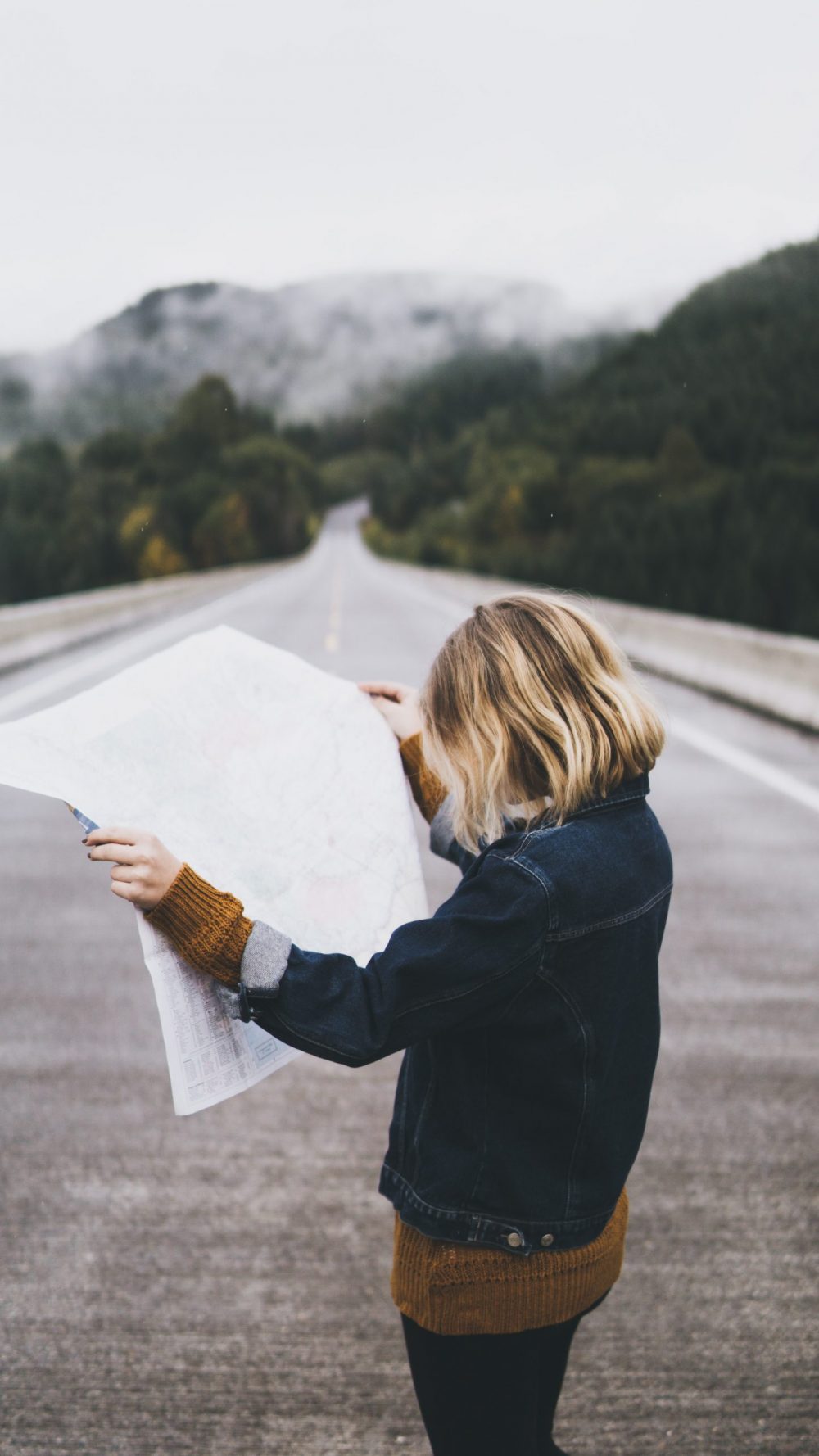
So, I always like opening some maps and guides and see what I want to do. I just measure with my fingers the driving we’ll do as a family on one day- actually, the driving my husband will do, as for me it is too traumatising to change sides of the road again. I did it once from Argentina to the UK and I still have to think each time I drive, which side of the road I have to get in, and what side of the car I have to mount to! But I am a great co-pilot, and enjoy the planning of the trip, as much as the guiding.
Here is a selection of maps, many of which I have already bought- (you cannot ever have enough maps, right?) I might not spend too much in shoes, but I do like my maps, and some travel guides as well!
Driving to the mountains, in this case to the Alps from the UK is a very good option if you are carrying your family and you do not want to break your bank account to go skiing.

There are two ways to cross the channel – via a ferry or using the Eurotunnel- the Eurotunnel is great as it only takes 35 minutes to get to Calais from Folkestone.
You must be logged in to post a comment.